
1968 Map of Wahkon North
USGS Topo · Published 1970About this map
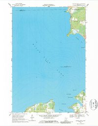
Mille Lacs Lake dominates this 1960s topographic landscape, where the southern and eastern shores reveal a transition from forested recreation areas to small lakeside settlements. The town of Wahkon serves as the primary hub along the southern edge, situated near the protected waters of Isle Harbor and the neighboring Father Hennepin State Park. This era of the lake's history shows a reliance on its natural resources and recreational draw, evidenced by the presence of Galloway Youth Camp and several named island features like Hennepin Island, which is part of the Mille Lacs National Wildlife Refuge. Detailed depth curves provided by the Minnesota Department of Conservation map the underwater topography of Sunset Bay and Wahkon Bay, providing a clear view of the shoreline and sandbars as they appeared before modern developments altered the coast.
Find a feature on this map
24 named features on this map. Tap any name to fly to it.
Don’t see what you’re looking for? This feature index may not catch every label — zoom into the map to look around manually.
Map Details
Editions of this 1968 Wahkon North Map
2 editions found
Other maps of this area

1916 · Wealthwood
USGS Topo · 1:62,500

1953 · Duluth
USGS Topo · 1:250,000

1958 · Duluth
USGS Topo · 1:250,000

1968 · Onamia NW
USGS Topo · 1:24,000

1968 · Onamia
USGS Topo · 1:24,000

1968 · Isle SW
USGS Topo · 1:24,000

1968 · Isle
USGS Topo · 1:24,000
1968 · Wahkon South
USGS Topo · 1:24,000

1969 · Thor SW
USGS Topo · 1:24,000
1973 · Malmo
USGS Topo · 1:24,000
Featured Places
- Wahkon, MN
- South Harbor Township, MN
- Isle Harbor Township, MN
- East Side Township, MN
- Mille Lacs County, MN