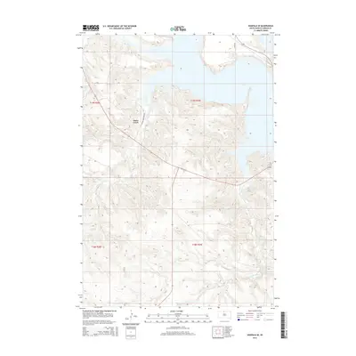
2015 Map of Wakpala SE
USGS Topo · Published 2015About this map
Lake Oahe dominates the eastern horizon of this Corson County landscape, where the Missouri River reservoir defines the modern topography. The rugged Missouri Plateau terrain is dissected by significant drainages such as Snake Creek and Claymore Creek, which carve deep coulees through the high plains toward the water. This 2015 edition reflects the rural infrastructure of the Standing Rock Indian Reservation, featuring local transportation routes like Vernon Ironcloud Rd and 278th Ave. The map provides a clear look at the land division system within the Cheyenne River and Standing Rock regions, showing the surveyed boundaries of t19n r29e and surrounding townships. Researchers can trace the complex shoreline and the natural watercourse patterns that continue to shape the land use and access in this part of South Dakota.
Find a feature on this map
10 named features on this map. Tap any name to fly to it.
Don’t see what you’re looking for? This feature index may not catch every label — zoom into the map to look around manually.
Map Details
Editions of this 2015 Wakpala SE Map
This is the sole edition of this map. No revisions or reprints were ever made.
Other maps of this area

1953 · McIntosh
USGS Topo · 1:250,000

1956 · Wakpala NW
USGS Topo · 1:24,000

1956 · Wakpala SE
USGS Topo · 1:24,000

1956 · Wakpala SW
USGS Topo · 1:24,000

1956 · Wakpala
USGS Topo · 1:24,000

1958 · McIntosh
USGS Topo · 1:250,000

1967 · Mobridge NW
USGS Topo · 1:24,000

1967 · Mobridge
USGS Topo · 1:24,000

1968 · Moreau NW
USGS Topo · 1:24,000

1975 · Laundreaux Butte
USGS Topo · 1:24,000