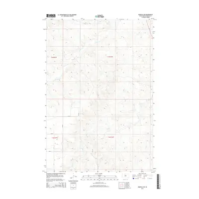
2015 Map of Wakpala SW
USGS Topo · Published 2015About this map
Deep Bank Cr and Snake Cr carve through the undulating landscape of Corson County in this 2015 Bureau of Indian Affairs and USGS survey. The terrain is defined by its drainage patterns, where small tributaries feed into these primary watercourses across a largely undeveloped region of the Standing Rock Reservation. Infrastructure is sparse, characterized by a grid of section lines and gravel roads such as BIA Rd 10 and 270th Ave. The map provides a clear record of the Public Land Survey System divisions, including t19n r28e and t18n r27e, which are essential for property research and understanding the administrative layout of this rural South Dakota prairie.
Find a feature on this map
14 named features on this map. Tap any name to fly to it.
Don’t see what you’re looking for? This feature index may not catch every label — zoom into the map to look around manually.
Map Details
Editions of this 2015 Wakpala SW Map
This is the sole edition of this map. No revisions or reprints were ever made.
Other maps of this area

1953 · McIntosh
USGS Topo · 1:250,000

1956 · Wakpala NW
USGS Topo · 1:24,000

1956 · Little Eagle
USGS Topo · 1:24,000

1956 · Wakpala SE
USGS Topo · 1:24,000

1956 · Little Eagle SE
USGS Topo · 1:24,000

1956 · Wakpala SW
USGS Topo · 1:24,000

1956 · Wakpala
USGS Topo · 1:24,000

1958 · McIntosh
USGS Topo · 1:250,000

1975 · Laundreaux Butte
USGS Topo · 1:24,000

1975 · Trail City
USGS Topo · 1:24,000