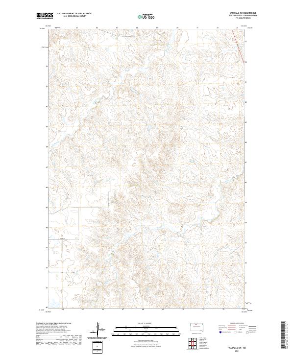
2021 Map of Wakpala SW
USGS Topo · Published 2021About this map
Deep Bank Cr and Snake Cr define the hydrological character of this portion of Corson County. This 2021 survey illustrates a sparse, upland landscape primarily utilized for ranching and agriculture, as evidenced by the rectilinear grid of the Public Land Survey System. Movement through this section of the Standing Rock Reservation is facilitated by a network of rural routes, including Co Rd 7 and Co Rd 20, which connect isolated homesteads to the larger regional infrastructure. The geography is marked by subtle drainages and ridges, with Lake Rd providing access to the southern reaches of the quadrangle. For researchers of the northern plains, this map documents the contemporary footprint of local transportation and land division in a region where the natural watercourses still dictate the placement of human activity.
Find a feature on this map
10 named features on this map. Tap any name to fly to it.
Don’t see what you’re looking for? This feature index may not catch every label — zoom into the map to look around manually.
Map Details
Editions of this 2021 Wakpala SW Map
This is the sole edition of this map. No revisions or reprints were ever made.
Other maps of this area

1953 · McIntosh
USGS Topo · 1:250,000

1956 · Wakpala NW
USGS Topo · 1:24,000

1956 · Little Eagle
USGS Topo · 1:24,000

1956 · Wakpala SE
USGS Topo · 1:24,000

1956 · Little Eagle SE
USGS Topo · 1:24,000

1956 · Wakpala SW
USGS Topo · 1:24,000

1956 · Wakpala
USGS Topo · 1:24,000

1958 · McIntosh
USGS Topo · 1:250,000

1975 · Laundreaux Butte
USGS Topo · 1:24,000

1975 · Trail City
USGS Topo · 1:24,000