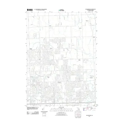
2011 Map of Waldenburg
USGS Topo · Published 2011About this map
Waldenburg and the surrounding townships in Macomb County show a landscape defined by the branching tributaries of the North Branch Clinton River and Middle Branch Clinton River. By the early 21st century, the area displays a mix of traditional agricultural road grids and expanding residential developments. The map highlights established community nodes such as Davis, Meade, and Preston Corners, alongside significant aviation infrastructure at Berz-Macomb Airport and Macomb Airport. A complex network of drainage systems, including Heide Drain and McBride Drain, crisscrosses the terrain between the river branches, reflecting the managed hydrology of this Michigan flatland. Local history is anchored by sites like the Macomb Center Cemetery, while modern land use is represented by recreational spaces such as the North Brook Golf Course and Hickory Hollow Golf Course.
Find a feature on this map
110 named features on this map. Tap any name to fly to it.
Don’t see what you’re looking for? This feature index may not catch every label — zoom into the map to look around manually.
Map Details
Editions of this 2011 Waldenburg Map
This is the sole edition of this map. No revisions or reprints were ever made.
Other maps of this area

1908 · Rochester
USGS Topo · 1:62,500

1912 · Mt Clemens
USGS Topo · 1:62,500

1914 · Armada
USGS Topo · 1:62,500

1928 · Armada
USGS Topo · 1:62,500

1929 · Mt Clemens
USGS Topo · 1:62,500

1936 · Warren
USGS Topo · 1:31,680

1936 · New Haven
USGS Topo · 1:31,680

1936 · Washington
USGS Topo · 1:31,680

1936 · Waldenburg
USGS Topo · 1:31,680

1936 · Selfridge Field
USGS Topo · 1:31,680
Featured Places
- Sterling Heights, MI
- Clinton Township, MI
- Macomb Township, MI
- Shelby Charter Township, MI
- Washington Charter Township, MI