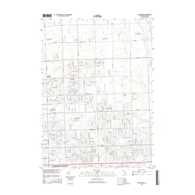
2014 Map of Waldenburg
USGS Topo · Published 2014About this map
Waldenburg and the surrounding townships in Macomb County reveal a landscape shaped by a sophisticated network of drainage and river systems that supported both agricultural and residential development. The Middle Br Clinton River and N Br Clinton River serve as the primary hydrological arteries, fed by numerous man-made and natural watercourses such as the Cass Drain, Price Brook, and Healy Drain. This intricate water management system is a defining characteristic of the region's topography, illustrating the transition from rural land use to the expanding residential grids seen near Sterling Heights.
Find a feature on this map
267 named features on this map. Tap any name to fly to it.
Don’t see what you’re looking for? This feature index may not catch every label — zoom into the map to look around manually.
Map Details
Editions of this 2014 Waldenburg Map
This is the sole edition of this map. No revisions or reprints were ever made.
Other maps of this area

1908 · Rochester
USGS Topo · 1:62,500

1912 · Mt Clemens
USGS Topo · 1:62,500

1914 · Armada
USGS Topo · 1:62,500

1928 · Armada
USGS Topo · 1:62,500

1929 · Mt Clemens
USGS Topo · 1:62,500

1936 · Warren
USGS Topo · 1:31,680

1936 · New Haven
USGS Topo · 1:31,680

1936 · Washington
USGS Topo · 1:31,680

1936 · Waldenburg
USGS Topo · 1:31,680

1936 · Selfridge Field
USGS Topo · 1:31,680
Featured Places
- Sterling Heights, MI
- Clinton Township, MI
- Macomb Township, MI
- Shelby Charter Township, MI
- Washington Charter Township, MI