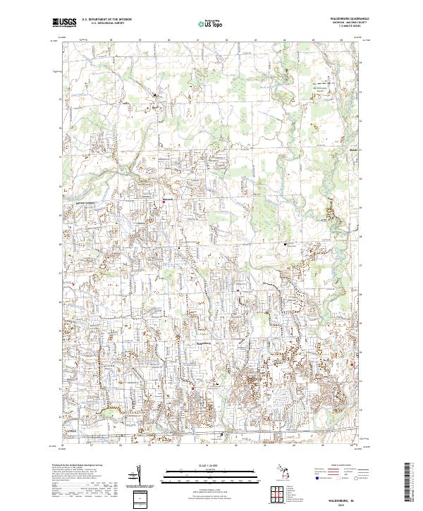
2023 Map of Waldenburg
USGS Topo · Published 2023About this map
Waldenburg and the surrounding Macomb County countryside are depicted here in detail, showcasing a landscape defined by an extensive network of municipal drainage and the winding paths of the North Branch Clinton River and Middle Branch Clinton River. The area maintains its historical settlement patterns at Preston Corners, Meade, and Davis, while the southern reaches near Utica show significant residential expansion. Significant local landmarks include Saint Peters Lutheran Church and several long-established burial grounds such as the Immanuel Lutheran Cem and Trinity Lutheran Cem. The topography is notably marked by numerous named water features like McBride Drain, Gloin Creek, and Tupper Brook, reflecting the region's managed hydrology. Aviation history is represented by the Ray Community Airport in the northeastern quadrant, serving the local community amidst a grid of established roads like 24 Mile RD and Hall RD.
Find a feature on this map
72 named features on this map. Tap any name to fly to it.
Don’t see what you’re looking for? This feature index may not catch every label — zoom into the map to look around manually.
Map Details
Editions of this 2023 Waldenburg Map
This is the sole edition of this map. No revisions or reprints were ever made.
Other maps of this area

1908 · Rochester
USGS Topo · 1:62,500

1912 · Mt Clemens
USGS Topo · 1:62,500

1914 · Armada
USGS Topo · 1:62,500

1928 · Armada
USGS Topo · 1:62,500

1929 · Mt Clemens
USGS Topo · 1:62,500

1936 · Warren
USGS Topo · 1:31,680

1936 · New Haven
USGS Topo · 1:31,680

1936 · Washington
USGS Topo · 1:31,680

1936 · Waldenburg
USGS Topo · 1:31,680

1936 · Selfridge Field
USGS Topo · 1:31,680
Featured Places
- Sterling Heights, MI
- Clinton Township, MI
- Macomb Township, MI
- Shelby Charter Township, MI
- Washington Charter Township, MI