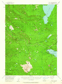
1956 Map of Waldo Lake
USGS Topo · Published 1961About this map
Waldo Lake dominates this high-altitude landscape in the mid-1950s, serving as a focal point for the Willamette National Forest and Deschutes National Forest. The map details a complex network of recreation and mountain infrastructure, from the South Waldo Shelter to the Princess Creek Forest Camp. Significant relief features like Diamond Peak and Mt David Douglas are intricately mapped alongside the Southern Pacific rail line as it traverses Pengra Pass. A unique aspect of this survey is the identification of several remote camps and family-named landmarks, such as Beamer Ranch, Eagle Camp, and Deer Camp, which provide valuable location data for those tracing the history of early mountain access and forestry in Lane and Klamath counties.
Find a feature on this map
101 named features on this map. Tap any name to fly to it.
Don’t see what you’re looking for? This feature index may not catch every label — zoom into the map to look around manually.
Map Details
Editions of this 1956 Waldo Lake Map
3 editions found
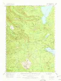
Other maps of this area

1917 · Diamond Lake
USGS Topo · 1:125,000

1925 · Waldo Lake
USGS Topo · 1:125,000

1930 · Maiden Peak
USGS Topo · 1:125,000

1934 · Maiden Peak
USGS Topo · 1:125,000

1935 · Chemult
USGS Topo · 1:96,000

1941 · Chemult
USGS Topo · 1:125,000

1955 · Chucksney Mtn
USGS Topo · 1:62,500

1955 · Crescent
USGS Topo · 1:250,000

1956 · Toketee Falls
USGS Topo · 1:62,500

1956 · Waldo Lake
USGS Topo · 1:62,500