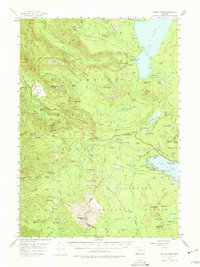
1956 Map of Waldo Lake
USGS Topo · Published 1975About this map
Waldo Lake and the high ridges of the Cascades define this 1950s landscape, where the Southern Pacific Railroad and the Pacific Highway snake through steep passes. The map documents a critical transportation corridor at Cascade Summit, where rail infrastructure supports the crossing between the Willamette National Forest and Deschutes National Forest. Small mountain settlements and railroad stops like Heather, Frazier, and Cruzatte are scattered along the tracks, providing a detailed look at mid-century high-altitude commerce and travel. Outside the transit corridor, the terrain is dotted with early wilderness camps and shelters such as South Waldo Shelter, Deer Camp, and Shelter Cove. The presence of the Klovdahl Bay on the lake reminds of early engineering efforts in the region, while landmarks like Salt Creek Falls and Diamond Peak serve as primary anchors for this high-elevation survey.
Find a feature on this map
111 named features on this map. Tap any name to fly to it.
Don’t see what you’re looking for? This feature index may not catch every label — zoom into the map to look around manually.
Map Details
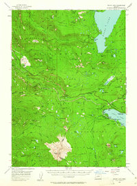
Editions of this 1956 Waldo Lake Map
3 editions found
Other maps of this area

1917 · Diamond Lake
USGS Topo · 1:125,000

1925 · Waldo Lake
USGS Topo · 1:125,000

1930 · Maiden Peak
USGS Topo · 1:125,000

1934 · Maiden Peak
USGS Topo · 1:125,000

1935 · Chemult
USGS Topo · 1:96,000

1941 · Chemult
USGS Topo · 1:125,000

1955 · Chucksney Mtn
USGS Topo · 1:62,500

1955 · Crescent
USGS Topo · 1:250,000

1956 · Toketee Falls
USGS Topo · 1:62,500

1956 · Waldo Lake
USGS Topo · 1:62,500