
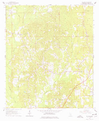
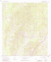
1963 Map of Waldrup
USGS Topo · Published 1965About this map
Waldrup and the surrounding timbered hills of Jasper County are documented here in the early 1960s, a period marked by local industrial activity and a dense network of rural congregation points. The landscape is defined by the winding course of Tallahala Creek and its tributaries, including Ealiah Creek and Horse Br, which carve through the terrain. Evidence of the local economy is seen in the central Claypit and a Gas Well near the southern boundary, while the edge of Heidelberg appears in the southeast.
Find a feature on this map
31 named features on this map. Tap any name to fly to it.
Don’t see what you’re looking for? This feature index may not catch every label — zoom into the map to look around manually.
Map Details
Editions of this 1963 Waldrup Map
3 editions found
Other maps of this area

1953 · Hattiesburg
USGS Topo · 1:250,000

1953 · Meridian
USGS Topo · 1:250,000

1957 · Meridian
USGS Topo · 1:250,000

1957 · Enterprise
USGS Topo · 1:62,500

1958 · Hattiesburg
USGS Topo · 1:250,000

1963 · Heidelberg
USGS Topo · 1:24,000

1964 · Heidelberg SW
USGS Topo · 1:24,000

1964 · Moss
USGS Topo · 1:24,000

1964 · Sandersville
USGS Topo · 1:24,000

1964 · Lake Como
USGS Topo · 1:24,000