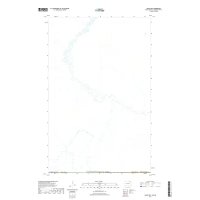
2017 Map of Wales OE N
USGS Topo · Published 2017About this map
The international boundary at the Canada/United States of America border defines the northern landscape of this North Dakota survey. Situated in the rural northern reaches of Cavalier Co, the area is characterized by a high-density network of meandering streams and complex prairie wetlands. This 2017 study illustrates the hydrographic patterns just south of the border, where the terrain is dominated by natural water drainage systems rather than established town sites. While the map is sparse regarding named settlements, it provides a precise look at the hydrology and land divisions within North Dakota at the edge of the Canadian prairie.
Find a feature on this map
1 named feature on this map. Tap any name to fly to it.
Don’t see what you’re looking for? This feature index may not catch every label — zoom into the map to look around manually.
Map Details
Editions of this 2017 Wales OE N Map
This is the sole edition of this map. No revisions or reprints were ever made.
Other maps of this area

1953 · Devils Lake
USGS Topo · 1:250,000

1956 · Devils Lake
USGS Topo · 1:250,000

1970 · Mount Carmel
USGS Topo · 1:24,000

1970 · Wales
USGS Topo · 1:24,000

1970 · Hannah
USGS Topo · 1:24,000

1985 · Langdon
USGS Topo · 1:100,000
2011 · Wales
USGS Topo · 1:24,000

2011 · Mount Carmel
USGS Topo · 1:24,000
2011 · Hannah
USGS Topo · 1:24,000
2014 · Hannah
USGS Topo · 1:24,000