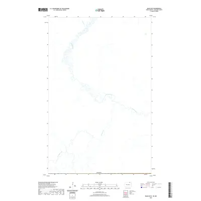
2020 Map of Wales OE N
USGS Topo · Published 2020About this map
The Pembina River carves a highly sinuous path across this borderland landscape in Cavalier County, where the northern edge of the map meets the international boundary with Canada. This segment of the river is characterized by tight oxbows and meanders, illustrating a slow-moving water system that heavily influences the local drainage. Tributaries including Stony Cr from the north and Snowflake Creek (also labeled as Snowflake Cr) from the south feed into this primary waterway. The terrain is defined by these hydrographic features rather than modern settlements, showing a rural area where the natural drainage patterns of the Red River Valley watershed remain the dominant geographical markers.
Find a feature on this map
5 named features on this map. Tap any name to fly to it.
Don’t see what you’re looking for? This feature index may not catch every label — zoom into the map to look around manually.
Map Details
Editions of this 2020 Wales OE N Map
This is the sole edition of this map. No revisions or reprints were ever made.
Other maps of this area

1953 · Devils Lake
USGS Topo · 1:250,000

1956 · Devils Lake
USGS Topo · 1:250,000

1970 · Mount Carmel
USGS Topo · 1:24,000

1970 · Wales
USGS Topo · 1:24,000

1970 · Hannah
USGS Topo · 1:24,000

1985 · Langdon
USGS Topo · 1:100,000
2011 · Wales
USGS Topo · 1:24,000

2011 · Mount Carmel
USGS Topo · 1:24,000
2011 · Hannah
USGS Topo · 1:24,000
2014 · Hannah
USGS Topo · 1:24,000