
1892 Map of Walhalla
USGS Topo · Published 1892About this map
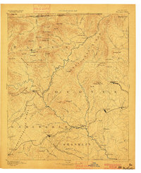
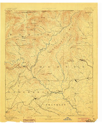
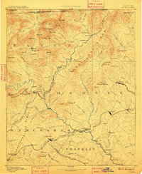
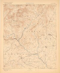
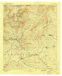
The Blue Ridge mountains dominate this 1892 reconnaissance of the borderlands where Georgia, South Carolina, and North Carolina meet. This era depicts a landscape defined by its rugged topography and the industrial expansion of the Richmond and Danville Railroad and the Blue Ridge Railroad. At the terminus of the latter lies Walhalla, serving as a gateway to the highlands. Further south, the Chattahoochee River and Tugaloo River provided essential corridors for movement, marked by numerous river crossings such as Jenkins's Ferry and Stribling Ferry.
Find a feature on this map
136 named features on this map. Tap any name to fly to it.
Don’t see what you’re looking for? This feature index may not catch every label — zoom into the map to look around manually.
Map Details
Editions of this 1892 Walhalla Map
7 editions found
Other maps of this area

1886 · Dahlonega
USGS Topo · 1:125,000

1886 · Walhalla
USGS Topo · 1:125,000

1888 · Pickens
USGS Topo · 1:125,000

1891 · Cowee
USGS Topo · 1:125,000

1891 · Gainesville
USGS Topo · 1:125,000

1891 · Carnesville
USGS Topo · 1:125,000

1892 · Dahlonega
USGS Topo · 1:125,000

1893 · Elberton
USGS Topo · 1:125,000

1894 · Pickens
USGS Topo · 1:125,000

1896 · Walhalla
USGS Topo · 1:125,000