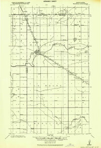
1943 Map of Walhalla
USGS Topo · Published 1943About this map
The United States Canada International Boundary defines the northern edge of this landscape, where the Great Northern RR crosses into North Dakota at Haskett. The settlement of Walhalla serves as a central hub, situated where the Pembina River cuts through the terrain. The rail line follows a distinct southeast diagonal through the center of the sheet, connecting Tipperary and Walhalla to the station at Leyden.
Find a feature on this map
24 named features on this map. Tap any name to fly to it.
Don’t see what you’re looking for? This feature index may not catch every label — zoom into the map to look around manually.
Map Details
Editions of this 1943 Walhalla Map
This is the sole edition of this map. No revisions or reprints were ever made.
Other maps of this area
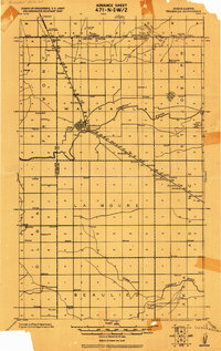
1918 · Walhalla
USGS Topo · 1:62,500
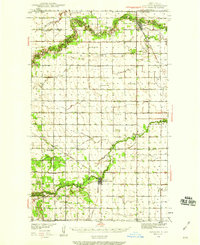
1939 · Cavalier
USGS Topo · 1:62,500
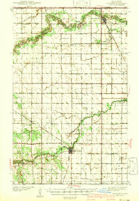
1941 · Cavalier
USGS Topo · 1:62,500
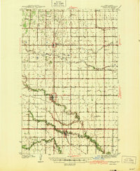
1944 · Crystal
USGS Topo · 1:62,500
1952 · Thief River Falls
USGS Topo · 1:250,000
1953 · Devils Lake
USGS Topo · 1:250,000
1956 · Thief River Falls
USGS Topo · 1:250,000
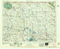
1956 · Devils Lake
USGS Topo · 1:250,000
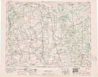
1957 · Thief River Falls
USGS Topo · 1:250,000
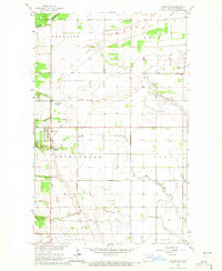
1964 · Mountain
USGS Topo · 1:24,000