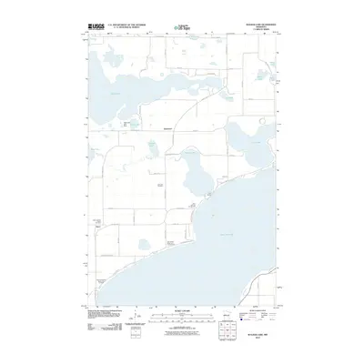
2010 Map of Walker Lake
USGS Topo · Published 2010About this map
Otter Tail Lake dominates the southern landscape of this region, serving as a focal point for recreation and local heritage. Near the community of Amor, the Zion Lutheran Church and its adjacent Zion Lutheran Church Cemetery stand alongside the Otter Tail County Sanitorium Cemetery, providing significant points of interest for genealogists tracing early families in the township. The area is characterized by an intricate network of waterways, including the Dead River which connects Dead Lake and Walker Lake.
Find a feature on this map
54 named features on this map. Tap any name to fly to it.
Don’t see what you’re looking for? This feature index may not catch every label — zoom into the map to look around manually.
Map Details
Editions of this 2010 Walker Lake Map
This is the sole edition of this map. No revisions or reprints were ever made.
Other maps of this area

1912 · Vergas
USGS Topo · 1:62,500

1912 · Battle Lake
USGS Topo · 1:62,500

1914 · Battle Lake
USGS Topo · 1:62,500

1915 · Underwood
USGS Topo · 1:62,500

1915 · Perham
USGS Topo · 1:62,500

1915 · Vergas
USGS Topo · 1:62,500

1953 · Brainerd
USGS Topo · 1:250,000

1957 · Brainerd
USGS Topo · 1:250,000

1958 · Brainerd
USGS Topo · 1:250,000

1965 · Brainerd
USGS Topo · 1:250,000