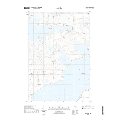
2019 Map of Walker Lake
USGS Topo · Published 2019About this map
Otter Tail Lake and the expansive Dead Lake define this central Minnesota landscape, where intricate shorelines and interconnected waterways shaped the settlement patterns of the late 20th and early 21st centuries. The small communities of Amor, Basswood, and Richville serve as local hubs, connected by a network of county highways and township roads. Notable for genealogists and local historians, the area preserves several burial sites including the Zion Lutheran Church Cem and the Oakwood Cem. A distinctive cultural landmark is the Otter Tail County Sanitarium Cem located south of Amor. The map reveals the complex hydrography of the region, tracing the Dead River as it links Amor Lake toward the larger basins, and highlighting secluded spots like Indian Bay and Lake Alice.
Find a feature on this map
71 named features on this map. Tap any name to fly to it.
Don’t see what you’re looking for? This feature index may not catch every label — zoom into the map to look around manually.
Map Details
Editions of this 2019 Walker Lake Map
This is the sole edition of this map. No revisions or reprints were ever made.
Other maps of this area

1912 · Vergas
USGS Topo · 1:62,500

1912 · Battle Lake
USGS Topo · 1:62,500

1914 · Battle Lake
USGS Topo · 1:62,500

1915 · Underwood
USGS Topo · 1:62,500

1915 · Perham
USGS Topo · 1:62,500

1915 · Vergas
USGS Topo · 1:62,500

1953 · Brainerd
USGS Topo · 1:250,000

1957 · Brainerd
USGS Topo · 1:250,000

1958 · Brainerd
USGS Topo · 1:250,000

1965 · Brainerd
USGS Topo · 1:250,000