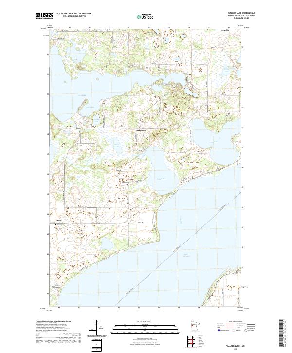
2022 Map of Walker Lake
USGS Topo · Published 2022About this map
The glaciated lake country of Otter Tail Lake and its surrounding wetlands define this portion of Minnesota. The landscape is characterized by a complex network of interconnected water bodies, including the irregular shoreline of Dead Lake, the sheltered waters of Indian Bay, and the central expanse of Walker Lake. Small communities and crossroad settlements like Richville, Basswood, and Amor dot the region, connected by a grid of county highways and township roads.
Find a feature on this map
75 named features on this map. Tap any name to fly to it.
Don’t see what you’re looking for? This feature index may not catch every label — zoom into the map to look around manually.
Map Details
Editions of this 2022 Walker Lake Map
This is the sole edition of this map. No revisions or reprints were ever made.
Other maps of this area

1912 · Vergas
USGS Topo · 1:62,500

1912 · Battle Lake
USGS Topo · 1:62,500

1914 · Battle Lake
USGS Topo · 1:62,500

1915 · Underwood
USGS Topo · 1:62,500

1915 · Perham
USGS Topo · 1:62,500

1915 · Vergas
USGS Topo · 1:62,500

1953 · Brainerd
USGS Topo · 1:250,000

1957 · Brainerd
USGS Topo · 1:250,000

1958 · Brainerd
USGS Topo · 1:250,000

1965 · Brainerd
USGS Topo · 1:250,000