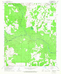
1964 Map of Walker
USGS Topo · Published 1965About this map
Des Arc Bayou and its numerous tributaries, including Cypress Bayou and Dogwood Creek, dominate the bottomlands of this 1964 survey. The landscape transitions from the dense drainage networks of the central bayous to the agricultural clearances near Griffithville and Walker. Local history is anchored by rural institutions like Dogwood Ch, Pleasant Ridge Sch, and several family cemeteries that survived the era's changing land use. The presence of an Old Railroad Grade in the northeast quadrant, running parallel to the edge of the Dogwood area, points to a shift in the local transportation network as older rail infrastructure gave way to the system of local roads and Jeep Trails that now navigate the wetlands and timber. The map also documents the boundary where White County and Prairie County meet along the southern reaches of the bayou.
Find a feature on this map
30 named features on this map. Tap any name to fly to it.
Don’t see what you’re looking for? This feature index may not catch every label — zoom into the map to look around manually.
Map Details
Editions of this 1964 Walker Map
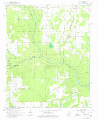
2 editions found
Other maps of this area

1932 · Kensett
USGS Topo · 1:62,500

1935 · Kensett
USGS Topo · 1:62,500

1935 · Hazen
USGS Topo · 1:62,500

1940 · Lonoke
USGS Topo · 1:62,500

1941 · Hazen
USGS Topo · 1:62,500

1948 · Helena
USGS Topo · 1:250,000

1949 · Lonoke
USGS Topo · 1:62,500

1950 · Helena
USGS Topo · 1:250,000

1950 · Lonoke
USGS Topo · 1:62,500

1953 · Memphis
USGS Topo · 1:250,000