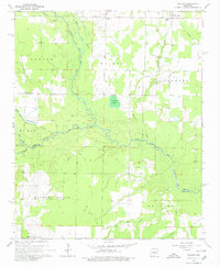
1964 Map of Walker
USGS Topo · Published 1980About this map
The lowlands of the White and Prairie County line are defined by the meandering courses of Cypress Bayou Des Arc and Little Des Arc. This 1964 survey captures a landscape transitioning between agricultural clearings and dense bottomland forests. The community of Walker serves as a local hub near Walker Cemetery, while further east, Griffithville sits along a decommissioned transport corridor marked as the Old Railroad Grade. To the south, the settlement of Vinity Corner and landmarks like Stewarts Reservoir indicate the rural development of the mid-20th century. Local social centers are well-documented, including Dogwood Church, Pleasant Ridge Church, and the Hickory Plains School, providing essential markers for genealogists tracing family locations in this part of Arkansas.
Find a feature on this map
31 named features on this map. Tap any name to fly to it.
Don’t see what you’re looking for? This feature index may not catch every label — zoom into the map to look around manually.
Map Details
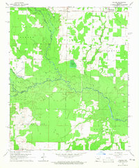
Editions of this 1964 Walker Map
2 editions found
Other maps of this area

1932 · Kensett
USGS Topo · 1:62,500

1935 · Kensett
USGS Topo · 1:62,500

1935 · Hazen
USGS Topo · 1:62,500

1940 · Lonoke
USGS Topo · 1:62,500

1941 · Hazen
USGS Topo · 1:62,500

1948 · Helena
USGS Topo · 1:250,000

1949 · Lonoke
USGS Topo · 1:62,500

1950 · Helena
USGS Topo · 1:250,000

1950 · Lonoke
USGS Topo · 1:62,500

1953 · Memphis
USGS Topo · 1:250,000