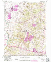
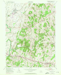
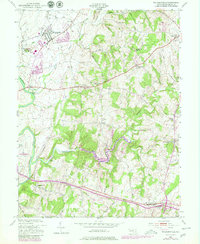
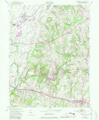
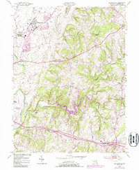
1953 Map of Walkersville
USGS Topo · Published 1994About this map
Walkersville and the surrounding Frederick County countryside are defined by a mix of agricultural valley land and industrial quarrying operations in the mid-20th century. The Monocacy River winds along the western edge of this landscape, while numerous smaller waterways like Israel Creek and Linganore Creek drain the undulating hills to the east. Local industry is anchored by the Fountain Rock Quarry and an adjacent Lime Kiln, reflecting the geological character of the region.
Find a feature on this map
51 named features on this map. Tap any name to fly to it.
Don’t see what you’re looking for? This feature index may not catch every label — zoom into the map to look around manually.
Map Details
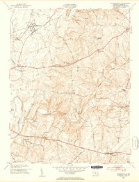
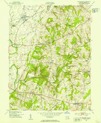
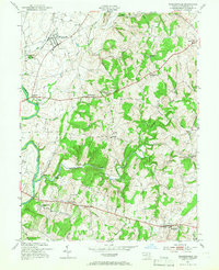
Editions of this 1953 Walkersville Map
8 editions found
Other maps of this area

1893 · Frederick
USGS Topo · 1:125,000

1894 · Frederick
USGS Topo · 1:125,000

1908 · Ijamsville
USGS Topo · 1:62,500

1909 · Mount Airy
USGS Topo · 1:62,500

1909 · Ijamsville
USGS Topo · 1:62,500

1911 · Taneytown
USGS Topo · 1:62,500

1911 · Emmitsburg
USGS Topo · 1:62,500

1942 · Frederick
USGS Topo · 1:62,500

1942 · Gettysburg
USGS Topo · 1:125,000

1943 · Emmitsburg
USGS Topo · 1:62,500