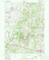
1953 Map of Walkersville
USGS Topo · Published 1980About this map
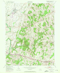
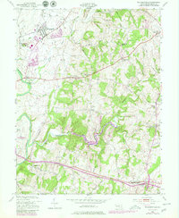
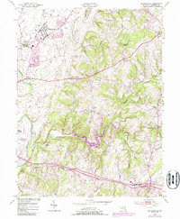
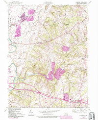
The Monocacy River winds through this central Maryland landscape, serving as a geographic anchor for a series of historic settlements like Walkersville and Libertytown. The map reflects a rural economy transitioning toward modernization, where industrial remnants like Fountain Rock Quarry and Lime Kilns sit alongside newer infrastructure such as the Frederick Municipal Airport. This 1953 survey, updated with 1970s revisions, highlights the creation of Lake Linganore, a significant man-made addition to the Linganore Creek valley.
Find a feature on this map
41 named features on this map. Tap any name to fly to it.
Don’t see what you’re looking for? This feature index may not catch every label — zoom into the map to look around manually.
Map Details
Editions of this 1953 Walkersville Map
8 editions found
Other maps of this area

1893 · Frederick
USGS Topo · 1:125,000

1894 · Frederick
USGS Topo · 1:125,000

1908 · Ijamsville
USGS Topo · 1:62,500

1909 · Mount Airy
USGS Topo · 1:62,500

1909 · Ijamsville
USGS Topo · 1:62,500

1911 · Taneytown
USGS Topo · 1:62,500

1911 · Emmitsburg
USGS Topo · 1:62,500

1942 · Frederick
USGS Topo · 1:62,500

1942 · Gettysburg
USGS Topo · 1:125,000

1943 · Emmitsburg
USGS Topo · 1:62,500