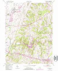
1953 Map of Walkersville
USGS Topo · Published 1987About this map
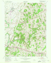
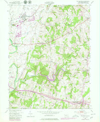
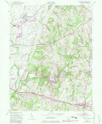
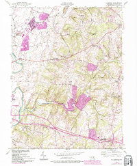
Walkersville and its surrounding agricultural valleys are anchored by the Monocacy River and the winding course of Linganore Creek in this mid-century portrait of Frederick County. The map details an era of transition, where established rural hamlets like Mt Pleasant and Libertytown maintain their traditional character even as suburban growth begins to appear in purple revisions around the periphery of Frederick. Industrial history is prominent near the river, where the Fountain Rock Quarry and several lime kilns indicate the area's geological utility.
Find a feature on this map
51 named features on this map. Tap any name to fly to it.
Don’t see what you’re looking for? This feature index may not catch every label — zoom into the map to look around manually.
Map Details
Editions of this 1953 Walkersville Map
8 editions found
Other maps of this area

1893 · Frederick
USGS Topo · 1:125,000

1894 · Frederick
USGS Topo · 1:125,000

1908 · Ijamsville
USGS Topo · 1:62,500

1909 · Mount Airy
USGS Topo · 1:62,500

1909 · Ijamsville
USGS Topo · 1:62,500

1911 · Taneytown
USGS Topo · 1:62,500

1911 · Emmitsburg
USGS Topo · 1:62,500

1942 · Frederick
USGS Topo · 1:62,500

1942 · Gettysburg
USGS Topo · 1:125,000

1943 · Emmitsburg
USGS Topo · 1:62,500