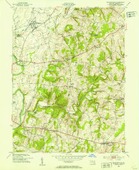
1953 Map of Walkersville
USGS Topo · Published 1953About this map
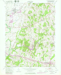
The Monocacy River and its numerous tributaries, including Linganore Creek and Israel Creek, define the agricultural and industrial character of Frederick County in the mid-1950s. The northern reaches center on Walkersville, a hub for the Pennsylvania railroad and home to the Fountain Rock Quarry. To the south, the village of New Market stands along a primary transportation corridor, while the Frederick Municipal Airport occupies the southwestern corner of the quadrangle. The map reveals a deeply rooted rural landscape dotted with small crossroads communities like McKaig, Daysville, and New London. Local spiritual and community life is anchored by numerous small landmarks such as Silver Hill Ch, Mt Zion Ch, and the Glade Cem. The inclusion of the Walkersville Reservoir and the Frederick Filtration Plant highlights the evolving infrastructure required to support these growing central Maryland settlements during the post-war era.
Find a feature on this map
43 named features on this map. Tap any name to fly to it.
Don’t see what you’re looking for? This feature index may not catch every label — zoom into the map to look around manually.
Map Details
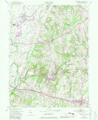
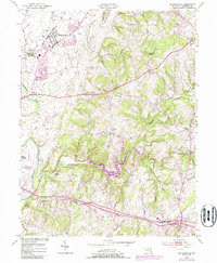
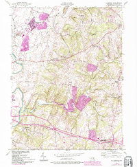
Editions of this 1953 Walkersville Map
8 editions found
Other maps of this area

1893 · Frederick
USGS Topo · 1:125,000

1894 · Frederick
USGS Topo · 1:125,000

1908 · Ijamsville
USGS Topo · 1:62,500

1909 · Mount Airy
USGS Topo · 1:62,500

1909 · Ijamsville
USGS Topo · 1:62,500

1911 · Taneytown
USGS Topo · 1:62,500

1911 · Emmitsburg
USGS Topo · 1:62,500

1942 · Frederick
USGS Topo · 1:62,500

1942 · Gettysburg
USGS Topo · 1:125,000

1943 · Emmitsburg
USGS Topo · 1:62,500