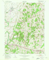
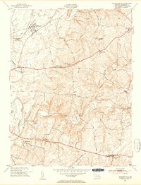
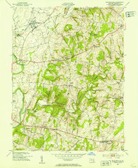
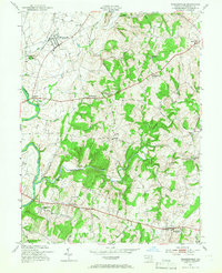
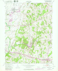
1953 Map of Walkersville
USGS Topo · Published 1971About this map
The Monocacy River defines the western edge of this central Maryland landscape, where early 1950s agrarian patterns meet the gradual expansion of infrastructure. The Penn Central railroad serves the northern corridor near Walkersville, while the southern reaches are anchored by New Market. Industrial and municipal development is evident in landmarks like the Lime Kiln near the river and the Frederick Municipal Airport.
Find a feature on this map
40 named features on this map. Tap any name to fly to it.
Don’t see what you’re looking for? This feature index may not catch every label — zoom into the map to look around manually.
Map Details
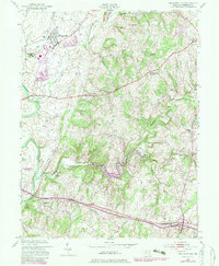
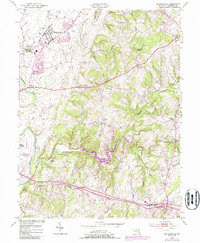
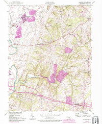
Editions of this 1953 Walkersville Map
8 editions found
Other maps of this area

1893 · Frederick
USGS Topo · 1:125,000

1894 · Frederick
USGS Topo · 1:125,000

1908 · Ijamsville
USGS Topo · 1:62,500

1909 · Mount Airy
USGS Topo · 1:62,500

1909 · Ijamsville
USGS Topo · 1:62,500

1911 · Taneytown
USGS Topo · 1:62,500

1911 · Emmitsburg
USGS Topo · 1:62,500

1942 · Frederick
USGS Topo · 1:62,500

1942 · Gettysburg
USGS Topo · 1:125,000

1943 · Emmitsburg
USGS Topo · 1:62,500