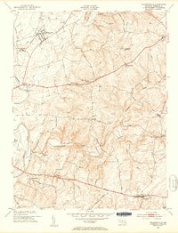
1953 Map of Walkersville
USGS Topo · Published 1953About this map
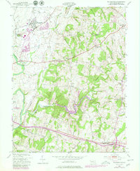
The Monocacy River and its numerous tributaries, including Linganore Creek and Israel Creek, define the rolling agricultural landscape of Frederick County in the early 1950s. The town of Walkersville serves as a primary hub, while smaller crossroads and settlements such as New Market, Libertytown, and Mt Pleasant dot the surrounding countryside. This survey captures the region just as modern infrastructure began to expand, featuring the Frederick Municipal Airport and the Frederick Filtration Plant alongside established rural landmarks. Genealogists and local historians can locate several houses of worship and burial grounds, including Silver Hill Ch, Mt Zion Ch, Glade Cem, and Fairmont Cem. The map also documents local industry through several extraction sites, such as the Lime Kiln near Fountain Rock and an Old Quarry south of Ceresville.
Find a feature on this map
47 named features on this map. Tap any name to fly to it.
Don’t see what you’re looking for? This feature index may not catch every label — zoom into the map to look around manually.
Map Details
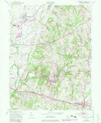
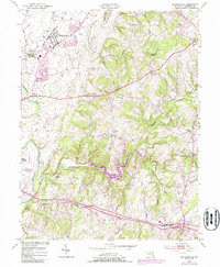
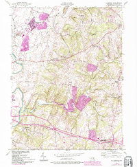
Editions of this 1953 Walkersville Map
8 editions found
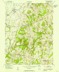
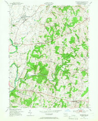
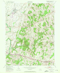
Other maps of this area

1893 · Frederick
USGS Topo · 1:125,000

1894 · Frederick
USGS Topo · 1:125,000

1908 · Ijamsville
USGS Topo · 1:62,500

1909 · Mount Airy
USGS Topo · 1:62,500

1909 · Ijamsville
USGS Topo · 1:62,500

1911 · Taneytown
USGS Topo · 1:62,500

1911 · Emmitsburg
USGS Topo · 1:62,500

1942 · Frederick
USGS Topo · 1:62,500

1942 · Gettysburg
USGS Topo · 1:125,000

1943 · Emmitsburg
USGS Topo · 1:62,500