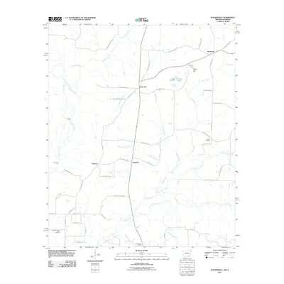
2011 Map of Walkerville
USGS Topo · Published 2011About this map
Walkerville and the surrounding rural landscape of Columbia County appear in this 2011 survey, centered near the Arkansas-Louisiana border. The area is defined by a network of creeks and branches, including Bayou Dorcheat, Little Cypress Creek, and Otter Creek. Local transit and history are marked by crossings such as Lecroys Ford and Courtneys Ford, while small family or community burying grounds like Stewart-Walkerville Cemetery and Glover Cemetery provide touchstones for genealogical research.
Find a feature on this map
53 named features on this map. Tap any name to fly to it.
Don’t see what you’re looking for? This feature index may not catch every label — zoom into the map to look around manually.
Map Details
Editions of this 2011 Walkerville Map
This is the sole edition of this map. No revisions or reprints were ever made.
Other maps of this area

1922 · Sarepta
USGS Topo · 1:62,500

1924 · Sarepta
USGS Topo · 1:62,500

1952 · Homer
USGS Topo · 1:62,500

1953 · El Dorado
USGS Topo · 1:250,000

1955 · Shreveport
USGS Topo · 1:250,000

1956 · Shreveport
USGS Topo · 1:250,000

1956 · Sarepta
USGS Topo · 1:62,500

1957 · El Dorado
USGS Topo · 1:250,000

1958 · El Dorado
USGS Topo · 1:250,000

1960 · El Dorado
USGS Topo · 1:250,000