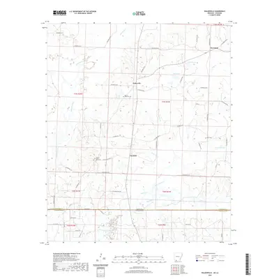
2020 Map of Walkerville
USGS Topo · Published 2020About this map
Walkerville and Plainfield serve as the primary nodes of settlement along the north-south axis of this borderlands survey. Situated in the southern reaches of Columbia County, the landscape is defined by the complex hydrology of Bayou Dorcheat and its tributaries, including Little Cypress Creek and Horsehead Creek. The terrain is marked by numerous small lakes such as Maloch Lake and Byrd Lake, reflecting the low-lying, water-rich environment near the state line.
Find a feature on this map
64 named features on this map. Tap any name to fly to it.
Don’t see what you’re looking for? This feature index may not catch every label — zoom into the map to look around manually.
Map Details
Editions of this 2020 Walkerville Map
This is the sole edition of this map. No revisions or reprints were ever made.
Other maps of this area

1922 · Sarepta
USGS Topo · 1:62,500

1924 · Sarepta
USGS Topo · 1:62,500

1952 · Homer
USGS Topo · 1:62,500

1953 · El Dorado
USGS Topo · 1:250,000

1955 · Shreveport
USGS Topo · 1:250,000

1956 · Shreveport
USGS Topo · 1:250,000

1956 · Sarepta
USGS Topo · 1:62,500

1957 · El Dorado
USGS Topo · 1:250,000

1958 · El Dorado
USGS Topo · 1:250,000

1960 · El Dorado
USGS Topo · 1:250,000