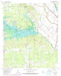
1980 Map of Wallace Lake
USGS Topo · Published 1992About this map
Wallace Lake dominates the central landscape of this Northwest Louisiana survey, where the border between Caddo Parish and De Soto Parish follows the meandering course of old bayous. The settlement of Frierson anchors the southern reaches of the map, connected by a network of rural roads to numerous community landmarks. The area is particularly rich in small country churches and cemeteries that speak to the region's genealogical heritage, including Springfield Cem and Antioch Cem.
Find a feature on this map
37 named features on this map. Tap any name to fly to it.
Don’t see what you’re looking for? This feature index may not catch every label — zoom into the map to look around manually.
Map Details
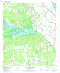
Editions of this 1980 Wallace Lake Map
2 editions found
Other maps of this area

1938 · Arnsberg
USGS Topo · 1:31,680

1941 · Forbing
USGS Topo · 1:31,680

1945 · Grand Cane
USGS Topo · 1:62,500

1945 · Greenwood
USGS Topo · 1:62,500

1945 · Mansfield
USGS Topo · 1:62,500

1947 · Mansfield
USGS Topo · 1:62,500

1948 · Caspiana
USGS Topo · 1:62,500

1955 · Shreveport
USGS Topo · 1:250,000

1955 · Shreveport East
USGS Topo · 1:24,000

1955 · Caspiana
USGS Topo · 1:62,500