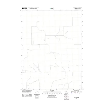
2011 Map of Wallace NE
USGS Topo · Published 2011About this map
Sykes Cemetery serves as a quiet landmark in this corner of Lincoln County, situated in a landscape primarily defined by a rigid grid of rural transport routes. The area illustrates the methodical section-line development typical of the Nebraska plains, where roads like W Sugar Rd and S Fear Rd navigate the open terrain. This network provides a window into the agricultural layout of the early 21st century, showing how local access roads such as W 7 Mile Rd and W Dairy Rd connect the scattered homesteads and fields. The presence of S Hershey Dickens Rd along the eastern edge marks a primary north-south corridor through the region, facilitating movement between the rural interior and larger regional hubs.
Find a feature on this map
10 named features on this map. Tap any name to fly to it.
Don’t see what you’re looking for? This feature index may not catch every label — zoom into the map to look around manually.
Map Details
Editions of this 2011 Wallace NE Map
This is the sole edition of this map. No revisions or reprints were ever made.
Other maps of this area

1898 · Paxton
USGS Topo · 1:125,000

1899 · North Platte
USGS Topo · 1:125,000

1901 · Paxton
USGS Topo · 1:125,000

1902 · North Platte
USGS Topo · 1:125,000

1954 · McCook
USGS Topo · 1:250,000

1954 · North Platte
USGS Topo · 1:250,000

1956 · North Platte
USGS Topo · 1:250,000

1956 · Dickens
USGS Topo · 1:24,000

1957 · North Platte
USGS Topo · 1:250,000

1957 · McCook
USGS Topo · 1:250,000