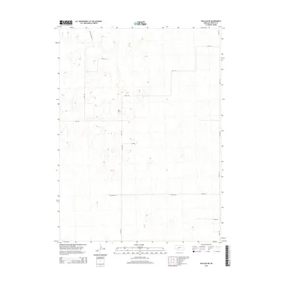
2014 Map of Wallace NE
USGS Topo · Published 2014About this map
Sykes Cem serves as a lonely landmark in this high plains landscape of southwest Nebraska, situated near the intersection of Fear Rd and W Fear Rd. The area is defined by its vast, rolling topography and a sparse grid of section-line roads that suggest a resilient agricultural presence. Significant routes such as Dickens Rd and Sugar Rd traverse the terrain, connecting isolated ranching or farming outposts.
Find a feature on this map
11 named features on this map. Tap any name to fly to it.
Don’t see what you’re looking for? This feature index may not catch every label — zoom into the map to look around manually.
Map Details
Editions of this 2014 Wallace NE Map
This is the sole edition of this map. No revisions or reprints were ever made.
Other maps of this area

1898 · Paxton
USGS Topo · 1:125,000

1899 · North Platte
USGS Topo · 1:125,000

1901 · Paxton
USGS Topo · 1:125,000

1902 · North Platte
USGS Topo · 1:125,000

1954 · McCook
USGS Topo · 1:250,000

1954 · North Platte
USGS Topo · 1:250,000

1956 · North Platte
USGS Topo · 1:250,000

1956 · Dickens
USGS Topo · 1:24,000

1957 · North Platte
USGS Topo · 1:250,000

1957 · McCook
USGS Topo · 1:250,000