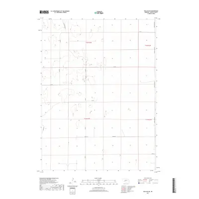
2017 Map of Wallace NE
USGS Topo · Published 2017About this map
Sykes Cem stands as a quiet focal point in this Lincoln County landscape, surrounded by the geometric precision of the Public Land Survey System. The terrain is defined by a network of rural routes including Swanson Rd, Fear Rd, and Dairy Rd, which partition the high plains into distinct sections. This 2017 survey reflects the persistent agricultural character of the region, where roads like W Meadow Lawns Rd and Sugar Rd provide access to the vast open spaces between the Platte River valleys to the north and south. The sparse naming of features emphasizes the isolation and specialized land use typical of this portion of Nebraska, where small family burial grounds like Sykes Cem often provide the most significant genealogical markers for researchers tracing local history.
Find a feature on this map
14 named features on this map. Tap any name to fly to it.
Don’t see what you’re looking for? This feature index may not catch every label — zoom into the map to look around manually.
Map Details
Editions of this 2017 Wallace NE Map
This is the sole edition of this map. No revisions or reprints were ever made.
Other maps of this area

1898 · Paxton
USGS Topo · 1:125,000

1899 · North Platte
USGS Topo · 1:125,000

1901 · Paxton
USGS Topo · 1:125,000

1902 · North Platte
USGS Topo · 1:125,000

1954 · McCook
USGS Topo · 1:250,000

1954 · North Platte
USGS Topo · 1:250,000

1956 · North Platte
USGS Topo · 1:250,000

1956 · Dickens
USGS Topo · 1:24,000

1957 · North Platte
USGS Topo · 1:250,000

1957 · McCook
USGS Topo · 1:250,000