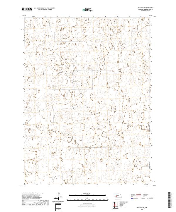
2021 Map of Wallace NE
USGS Topo · Published 2021About this map
The rolling grasslands and sandhills of Lincoln County, Nebraska, define this landscape south of the North Platte River. Centered around the solitary Sykes Cem, the terrain is navigated by a sparse but structured network of section roads that reflect the area's agricultural and ranching heritage. Long north-south routes like Sugar Rd and Fear Rd cut across the landscape, while the eastern boundary is anchored by S Hershey-Dickens Rd, a vital local artery connecting the upland country to the valley towns.
Find a feature on this map
13 named features on this map. Tap any name to fly to it.
Don’t see what you’re looking for? This feature index may not catch every label — zoom into the map to look around manually.
Map Details
Editions of this 2021 Wallace NE Map
This is the sole edition of this map. No revisions or reprints were ever made.
Other maps of this area

1898 · Paxton
USGS Topo · 1:125,000

1899 · North Platte
USGS Topo · 1:125,000

1901 · Paxton
USGS Topo · 1:125,000

1902 · North Platte
USGS Topo · 1:125,000

1954 · McCook
USGS Topo · 1:250,000

1954 · North Platte
USGS Topo · 1:250,000

1956 · North Platte
USGS Topo · 1:250,000

1956 · Dickens
USGS Topo · 1:24,000

1957 · North Platte
USGS Topo · 1:250,000

1957 · McCook
USGS Topo · 1:250,000