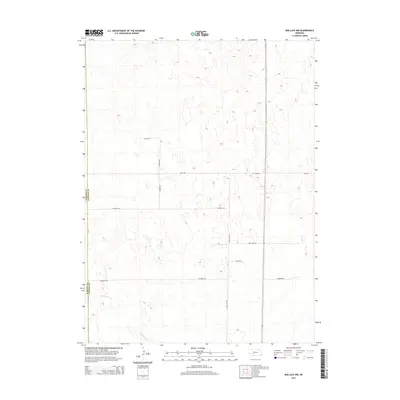
2014 Map of Wallace NW
USGS Topo · Published 2014About this map
Red Willow Cr meanders through the southwestern portion of this Nebraska landscape, defining the primary drainage for an area characterized by subtle topographic shifts and extensive section-line roads. This survey reveals a grid of rural infrastructure that speaks to the agricultural management of the region, where roads like W Corn Rd, W Dairy Rd, and Swanson Rd facilitate local movement across the plains. The western edge of the map identifies the geopolitical boundary between Perkins Co and Lincoln Co, a key reference point for researchers tracing land ownership or jurisdictional history in this part of the state. Other significant local thoroughfares, including Lone Star Rd and N Wallace Rd, illustrate the connectivity of this rural corridor.
Find a feature on this map
12 named features on this map. Tap any name to fly to it.
Don’t see what you’re looking for? This feature index may not catch every label — zoom into the map to look around manually.
Map Details
Editions of this 2014 Wallace NW Map
This is the sole edition of this map. No revisions or reprints were ever made.
Other maps of this area

1898 · Paxton
USGS Topo · 1:125,000

1901 · Paxton
USGS Topo · 1:125,000

1954 · McCook
USGS Topo · 1:250,000

1954 · North Platte
USGS Topo · 1:250,000

1956 · North Platte
USGS Topo · 1:250,000

1957 · North Platte
USGS Topo · 1:250,000

1957 · McCook
USGS Topo · 1:250,000

1958 · McCook
USGS Topo · 1:250,000

1967 · North Platte
USGS Topo · 1:250,000

1971 · Sutherland Reservoir West
USGS Topo · 1:24,000