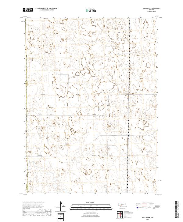
2021 Map of Wallace NW
USGS Topo · Published 2021About this map
The boundary between Perkins Co and Lincoln Co bisects this section of the High Plains, where the rural landscape is defined by the Public Land Survey System’s rigid grid. This agricultural area near Wallace is crisscrossed by a network of local thoroughfares including Swanson Rd, Lone Star Rd, and W Corn Rd. The terrain is characterized by numerous small, seasonally dry depressions and wetlands scattered across the sections of t12n r34w and t11n r34w. These natural basins contrast with the strictly engineered lines of Line Rd W and 7 Mile Rd W, illustrating the intersection of Nebraska's natural hydrology with early 21st-century land management and transit patterns.
Find a feature on this map
15 named features on this map. Tap any name to fly to it.
Don’t see what you’re looking for? This feature index may not catch every label — zoom into the map to look around manually.
Map Details
Editions of this 2021 Wallace NW Map
This is the sole edition of this map. No revisions or reprints were ever made.
Other maps of this area

1898 · Paxton
USGS Topo · 1:125,000

1901 · Paxton
USGS Topo · 1:125,000

1954 · McCook
USGS Topo · 1:250,000

1954 · North Platte
USGS Topo · 1:250,000

1956 · North Platte
USGS Topo · 1:250,000

1957 · North Platte
USGS Topo · 1:250,000

1957 · McCook
USGS Topo · 1:250,000

1958 · McCook
USGS Topo · 1:250,000

1967 · North Platte
USGS Topo · 1:250,000

1971 · Sutherland Reservoir West
USGS Topo · 1:24,000