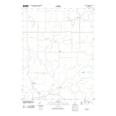
2010 Map of Wallace
USGS Topo · Published 2010About this map
Sugar Creek and Sugar Mill Creek dominate this 2010 depiction of rural Fountain County, winding through a landscape defined by historic crossings and quiet settlements. The map highlights significant engineering from a bygone era, including the Wilkins Mill Covered Bridge and the Cox Ford Covered Bridge, alongside the Narrows Bridge at the Narrows. These landmarks, clustered near the Rocky Hollow terrain, signify the importance of water crossings in the region's historical development.
Find a feature on this map
68 named features on this map. Tap any name to fly to it.
Don’t see what you’re looking for? This feature index may not catch every label — zoom into the map to look around manually.
Map Details
Editions of this 2010 Wallace Map
This is the sole edition of this map. No revisions or reprints were ever made.
Other maps of this area

1948 · Wallace
USGS Topo · 1:24,000

1949 · Alamo
USGS Topo · 1:24,000

1953 · Danville
USGS Topo · 1:250,000

1953 · Indianapolis
USGS Topo · 1:250,000

1955 · Danville
USGS Topo · 1:250,000

1955 · Rockville
USGS Topo · 1:24,000

1955 · Kingman
USGS Topo · 1:24,000

1955 · Montezuma
USGS Topo · 1:24,000

1956 · Danville
USGS Topo · 1:250,000

1956 · Indianapolis
USGS Topo · 1:250,000