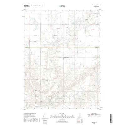
2019 Map of Wallace
USGS Topo · Published 2019About this map
Sugar Creek flows through the southern reaches of this landscape, carving a deep path near the boundary of Fountain and Parke Counties. This waterway is a focal point for local engineering history, featuring notable spans like the Wilkins Mill Covered Bridge, Cox Ford Covered Bridge, and the Narrows Bridge. These structures represent a critical era of regional transport, crossing over the creek as it winds toward Rocky Hollow.
Find a feature on this map
71 named features on this map. Tap any name to fly to it.
Don’t see what you’re looking for? This feature index may not catch every label — zoom into the map to look around manually.
Map Details
Editions of this 2019 Wallace Map
This is the sole edition of this map. No revisions or reprints were ever made.
Other maps of this area

1948 · Wallace
USGS Topo · 1:24,000

1949 · Alamo
USGS Topo · 1:24,000

1953 · Danville
USGS Topo · 1:250,000

1953 · Indianapolis
USGS Topo · 1:250,000

1955 · Danville
USGS Topo · 1:250,000

1955 · Rockville
USGS Topo · 1:24,000

1955 · Kingman
USGS Topo · 1:24,000

1955 · Montezuma
USGS Topo · 1:24,000

1956 · Danville
USGS Topo · 1:250,000

1956 · Indianapolis
USGS Topo · 1:250,000