Loading...
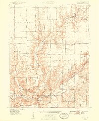
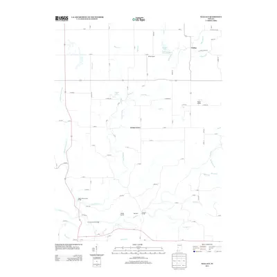
Loading map...1948 Map of Wallace
USGS Topo · Published 1948About this map
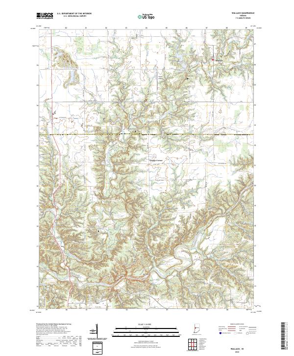
Turkey Run State Park anchors the southern portion of this landscape, where the deeply carved channel of Sugar Creek meets landmarks like the Cox Ford Bridge. In the years following World War II, this corner of Fountain and Parke Counties maintained a balance between the recreational beauty of the state park and active industrial extraction. Several Strip Mine operations are visible in the north, particularly along Mill Creek.
Find a feature on this map
36 named features on this map. Tap any name to fly to it.
Don’t see what you’re looking for? This feature index may not catch every label — zoom into the map to look around manually.
Map Details
Date Portrayed1948
Date Published1948
PublisherU.S. Geological Survey
Map TypeTopographic
Scale1:24,000
Physical Dimensions21.96 x 26.93 inches
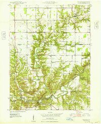
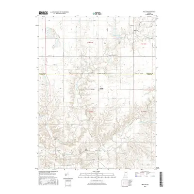
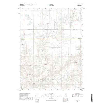
Editions of this 1948 Wallace Map
2 editions found
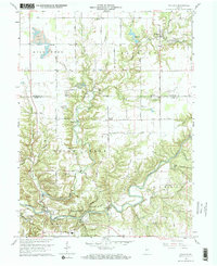
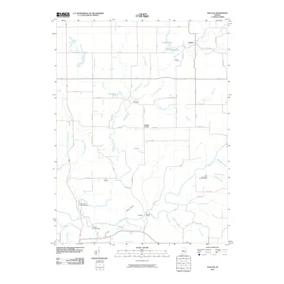
Historical Maps of Wallace Through Time
7 maps found
Featured Locations
Source Details
SourceU.S. Geological Survey
CopyrightPublic Domain