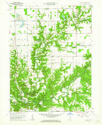
1961 Map of Wallace
USGS Topo · Published 1962About this map
Turkey Run State Park dominates the southern landscape of this 1961 revision, where the deeply carved sandstone gorges of Sugar Creek meet the surrounding farmland of Fountain and Parke counties. This survey preserves the locations of several landmark river crossings, including the Wilkins Mill Covered Bridge, Grange Corner Covered Bridge, and Cox Ford Covered Bridge. These structures illustrate the traditional transportation network that once spanned the region's winding waterways like Mill Creek and Roaring Creek.
Find a feature on this map
55 named features on this map. Tap any name to fly to it.
Don’t see what you’re looking for? This feature index may not catch every label — zoom into the map to look around manually.
Map Details
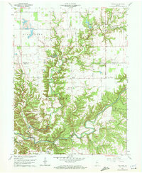
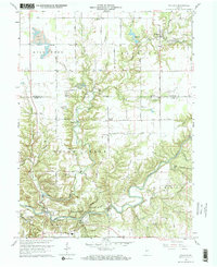
Editions of this 1961 Wallace Map
Other maps of this area

1948 · Wallace
USGS Topo · 1:24,000

1949 · Alamo
USGS Topo · 1:24,000

1953 · Danville
USGS Topo · 1:250,000

1953 · Indianapolis
USGS Topo · 1:250,000

1955 · Danville
USGS Topo · 1:250,000

1955 · Rockville
USGS Topo · 1:24,000

1955 · Kingman
USGS Topo · 1:24,000

1955 · Montezuma
USGS Topo · 1:24,000

1956 · Danville
USGS Topo · 1:250,000

1956 · Indianapolis
USGS Topo · 1:250,000