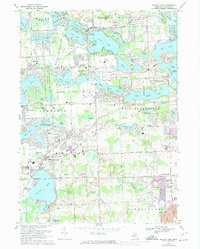
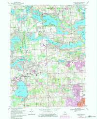
1969 Map of Walled Lake
USGS Topo · Published 1974About this map
Walled Lake and its surrounding township serve as the focal point for this late-1960s survey of Oakland County's lake country. The landscape is defined by an intricate network of glaciated water bodies, from the expansive Cass Lake and Orchard Lake to the interconnected Lower Straits Lake, Middle Straits Lake, and Upper Straits Lake. These waterways are flanked by emerging residential developments and recreational hubs like the Proud Lake State Recreation Area and several private clubs, including the Shenandoah Golf Club.
Find a feature on this map
97 named features on this map. Tap any name to fly to it.
Don’t see what you’re looking for? This feature index may not catch every label — zoom into the map to look around manually.
Map Details
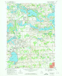
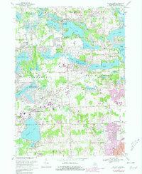
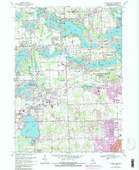
Editions of this 1969 Walled Lake Map
5 editions found
Other maps of this area

1902 · South Lyon
USGS Topo · 1:62,500

1904 · Ann Arbor
USGS Topo · 1:125,000

1905 · Wayne
USGS Topo · 1:62,500

1906 · South Lyon
USGS Topo · 1:62,500

1907 · Pontiac
USGS Topo · 1:62,500

1908 · Ann Arbor
USGS Topo · 1:125,000

1909 · Milford
USGS Topo · 1:62,500

1912 · Wayne
USGS Topo · 1:62,500

1936 · Wixom
USGS Topo · 1:31,680

1936 · Highland
USGS Topo · 1:31,680
Featured Places
- Farmington Hills, MI
- Waterford Township, MI
- Novi, MI
- West Bloomfield Township, MI
- Commerce Charter Township, MI