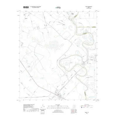
2019 Map of Wallis
USGS Topo · Published 2019About this map
Wallis and Simonton sit at the center of this 2019 survey, illustrating the rural-residential landscape at the junction of Austin, Waller, and Fort Bend Counties. The winding course of the Brazos River forms a dominant natural boundary to the east, accompanied by distinct hydrologic features like Alligator Hole and Elm Slough. This region maintains its agricultural character while supporting localized aviation through Longbird Airport and the Gloster Aerodrome.
Find a feature on this map
97 named features on this map. Tap any name to fly to it.
Don’t see what you’re looking for? This feature index may not catch every label — zoom into the map to look around manually.
Map Details
Editions of this 2019 Wallis Map
This is the sole edition of this map. No revisions or reprints were ever made.
Other maps of this area

1950 · Houston
USGS Topo · 1:250,000

1953 · Seguin
USGS Topo · 1:250,000

1955 · Brookshire
USGS Topo · 1:62,500

1955 · Richmond
USGS Topo · 1:62,500

1956 · Sealy
USGS Topo · 1:62,500

1956 · Wallis
USGS Topo · 1:62,500

1956 · Houston
USGS Topo · 1:250,000

1958 · Seguin
USGS Topo · 1:250,000

1960 · Lissie
USGS Topo · 1:24,000

1960 · Wallis
USGS Topo · 1:24,000