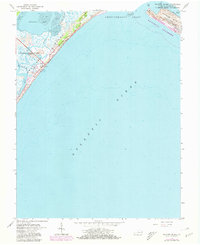
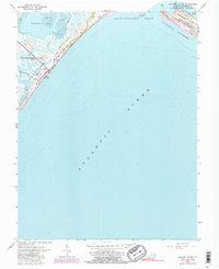
1965 Map of Wallops Island
USGS Topo · Published 1980About this map
Wallops Island serves as a critical junction of aerospace technology and coastal wilderness on Virginia's Eastern Shore. This survey captures the facility during a period of transition, with the Wallops Flight Center (NASA) footprint featuring a dense concentration of technical infrastructure along the shoreline, including a Weather Station, numerous Launch Pads, and a Lookout Tower. These facilities are situated between the marshy waters of Bogues Bay and the Atlantic surf at Wallops Beach.
Find a feature on this map
25 named features on this map. Tap any name to fly to it.
Don’t see what you’re looking for? This feature index may not catch every label — zoom into the map to look around manually.
Map Details
Editions of this 1965 Wallops Island Map
5 editions found
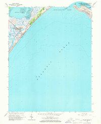
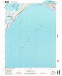
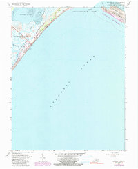
Other maps of this area

1931 · Accomac
USGS Topo · 1:48,000

1935 · Accomac
USGS Topo · 1:62,500

1942 · Chincoteague East
USGS Topo · 1:24,000

1942 · Mappsville
USGS Topo · 1:24,000

1942 · Wallops Island
USGS Topo · 1:24,000

1943 · Mappsville
USGS Topo · 1:31,680

1943 · Chincoteague West
USGS Topo · 1:31,680
1943 · Hallwood
USGS Topo · 1:31,680

1943 · Wallops Island
USGS Topo · 1:31,680
1943 · Chincoteague East
USGS Topo · 1:31,680