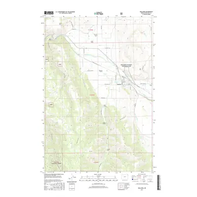
2017 Map of Wallowa
USGS Topo · Published 2017About this map
Wallowa lies at the heart of this valley landscape, where the Wallowa River is joined by Bear Cr and Whisky Cr. The town serves as a hub for the surrounding agricultural and timber lands, with its grid of streets such as W 3rd St and N Douglas St transitioning into the broader reaches of Lower Valley and Diamond Prairie. The complex water management system is a defining characteristic of the region, visible through the network of the Lower Valley Ditch, Chamberlin Ditch, and Clear Water Ditch that feed the local fields.
Find a feature on this map
58 named features on this map. Tap any name to fly to it.
Don’t see what you’re looking for? This feature index may not catch every label — zoom into the map to look around manually.
Map Details
Editions of this 2017 Wallowa Map
This is the sole edition of this map. No revisions or reprints were ever made.
Other maps of this area

1906 · Telocaset
USGS Topo · 1:125,000

1955 · Grangeville
USGS Topo · 1:250,000

1957 · Enterprise
USGS Topo · 1:62,500

1957 · Sled Springs
USGS Topo · 1:62,500

1959 · Grangeville
USGS Topo · 1:250,000

1964 · Howard Butte
USGS Topo · 1:24,000

1964 · Akers Butte
USGS Topo · 1:24,000

1964 · Wallowa
USGS Topo · 1:24,000

1964 · Minam
USGS Topo · 1:24,000

1965 · Fox Point
USGS Topo · 1:24,000