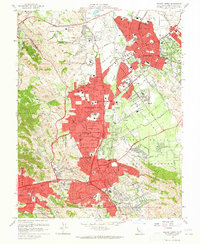
1959 Map of Walnut Creek
USGS Topo · Published 1965About this map
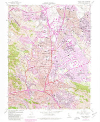
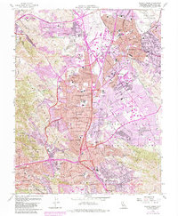
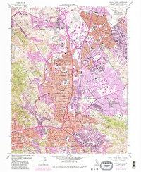
Concord and Pleasant Hill emerge as burgeoning postwar suburban centers in this 1959 survey, anchored by the expansion of the Diablo Valley corridor. The landscape is a transition of residential blocks and educational institutions like Diablo Valley College and Acalanes H S, set against the backdrop of the Lime Ridge and the Briones Hills. Regional transportation is defined by the Arnold Industrial Highway and the legacy rail lines of the Southern Pacific and Sacramento Northern, which once served the valley's agricultural past. Public infrastructure and civic spaces are prominent, from the Civic Center to Buchanan Field. Local history is preserved in the IOOF Cemetery and Lafayette Cemetery, while the presence of the Naval Reservation and Contra Costa Speedway highlights the era's diverse land use before the intense urbanization of the later twentieth century.
Find a feature on this map
75 named features on this map. Tap any name to fly to it.
Don’t see what you’re looking for? This feature index may not catch every label — zoom into the map to look around manually.
Map Details
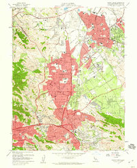
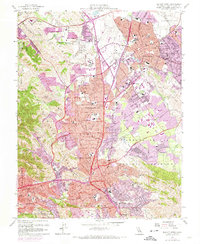
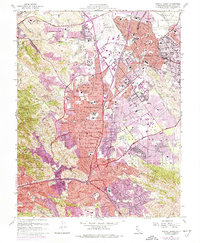
Editions of this 1959 Walnut Creek Map
7 editions found
Other maps of this area

1896 · Carquinez Strait
USGS Topo · 1:62,500

1896 · Mt. Diablo
USGS Topo · 1:62,500

1897 · Concord
USGS Topo · 1:62,500

1898 · Karquines
USGS Topo · 1:62,500

1898 · Mt. Diablo
USGS Topo · 1:62,500

1901 · Karquines
USGS Topo · 1:62,500

1902 · Napa
USGS Topo · 1:125,000

1907 · Antioch
USGS Topo · 1:62,500

1908 · Antioch
USGS Topo · 1:62,500

1915 · Concord
USGS Topo · 1:62,500