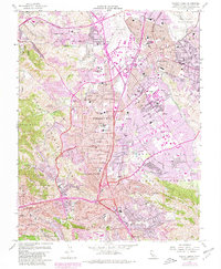
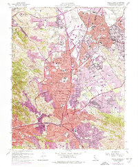
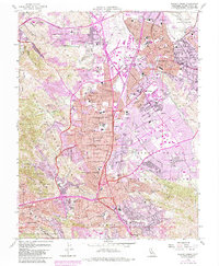
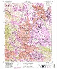
1959 Map of Walnut Creek
USGS Topo · Published 1981About this map
The expanding suburbs of the East Bay dominate this mid-century topographic record, showing the rapid post-war growth of Concord, Walnut Creek, and Pleasant Hill. The map documents a complex infrastructure network including the Contra Costa Canal and the Mokelumne Aqueduct, essential for the region's development. While residential neighborhoods are spreading into the Clayton Valley, industrial and transit footprints remain visible through the Southern Pacific and Sacramento Northern rail lines.
Find a feature on this map
68 named features on this map. Tap any name to fly to it.
Don’t see what you’re looking for? This feature index may not catch every label — zoom into the map to look around manually.
Map Details
Editions of this 1959 Walnut Creek Map
7 editions found
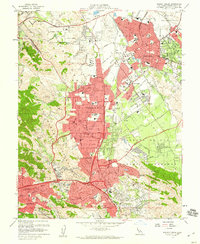
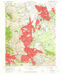
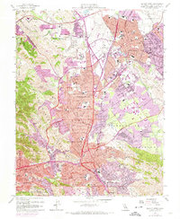
Other maps of this area

1896 · Carquinez Strait
USGS Topo · 1:62,500

1896 · Mt. Diablo
USGS Topo · 1:62,500

1897 · Concord
USGS Topo · 1:62,500

1898 · Karquines
USGS Topo · 1:62,500

1898 · Mt. Diablo
USGS Topo · 1:62,500

1901 · Karquines
USGS Topo · 1:62,500

1902 · Napa
USGS Topo · 1:125,000

1907 · Antioch
USGS Topo · 1:62,500

1908 · Antioch
USGS Topo · 1:62,500

1915 · Concord
USGS Topo · 1:62,500