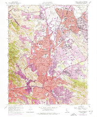
1959 Map of Walnut Creek
USGS Topo · Published 1974About this map
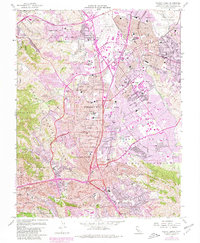
Buchanan Field and the surrounding valley floor document a mid-century period of suburban expansion across the East Bay. This 1959 survey, updated through 1973, reveals the rapid infill between Concord, Pleasant Hill, and Walnut Creek, where residential tracts began to press against the historical boundaries of the Briones Hills and Shell Ridge. The vital role of water management is evident in the path of the Contra Costa Canal and the presence of the Filtration Plant near Bancroft.
Find a feature on this map
94 named features on this map. Tap any name to fly to it.
Don’t see what you’re looking for? This feature index may not catch every label — zoom into the map to look around manually.
Map Details
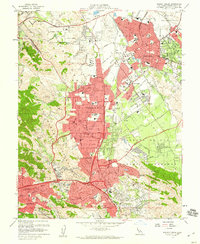
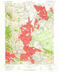
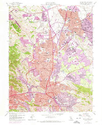
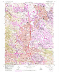
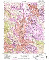
Editions of this 1959 Walnut Creek Map
7 editions found
Other maps of this area

1896 · Carquinez Strait
USGS Topo · 1:62,500

1896 · Mt. Diablo
USGS Topo · 1:62,500

1897 · Concord
USGS Topo · 1:62,500

1898 · Karquines
USGS Topo · 1:62,500

1898 · Mt. Diablo
USGS Topo · 1:62,500

1901 · Karquines
USGS Topo · 1:62,500

1902 · Napa
USGS Topo · 1:125,000

1907 · Antioch
USGS Topo · 1:62,500

1908 · Antioch
USGS Topo · 1:62,500

1915 · Concord
USGS Topo · 1:62,500