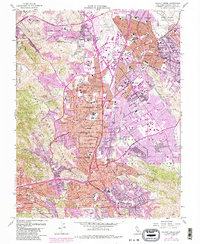
1959 Map of Walnut Creek
USGS Topo · Published 1983About this map
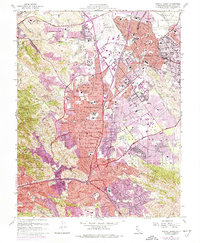
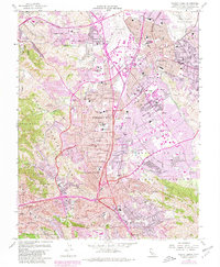
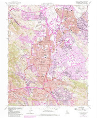
Concord and Walnut Creek appear during a period of significant suburban expansion in Contra Costa County. The landscape is defined by the intersection of major transit and utility corridors, including the Southern Pacific and Sacramento Northern railroads alongside the Contra Costa Canal and Mokelumne Aqueduct. This survey captures the transition from agricultural roots—visible in the Clayton Valley and the smaller settlements of Meinert and Bancroft—to the modern residential grids of Pleasant Hill and Lafayette. Significant institutional footprints are established at Diablo Valley College and the Naval Weapons Station Concord. The terrain is shaped by Lime Ridge and Shell Ridge, while the Lafayette Reservoir stands as a prominent engineered landmark amidst the growing communities.
Find a feature on this map
89 named features on this map. Tap any name to fly to it.
Don’t see what you’re looking for? This feature index may not catch every label — zoom into the map to look around manually.
Map Details
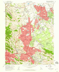
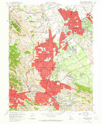
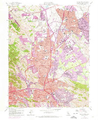
Editions of this 1959 Walnut Creek Map
7 editions found
Other maps of this area

1896 · Carquinez Strait
USGS Topo · 1:62,500

1896 · Mt. Diablo
USGS Topo · 1:62,500

1897 · Concord
USGS Topo · 1:62,500

1898 · Karquines
USGS Topo · 1:62,500

1898 · Mt. Diablo
USGS Topo · 1:62,500

1901 · Karquines
USGS Topo · 1:62,500

1902 · Napa
USGS Topo · 1:125,000

1907 · Antioch
USGS Topo · 1:62,500

1908 · Antioch
USGS Topo · 1:62,500

1915 · Concord
USGS Topo · 1:62,500