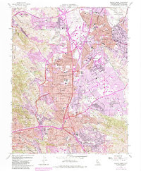
1959 Map of Walnut Creek
USGS Topo · Published 1983About this map
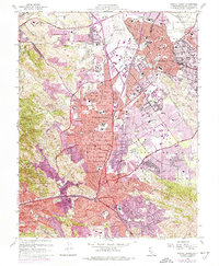
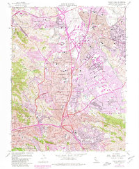
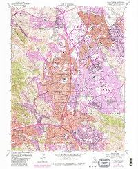
Concord, Walnut Creek, and Pleasant Hill are shown at a transformative moment of postwar suburban growth in Contra Costa County. While the purple tint indicates the rapid expansion of residential tracts, the landscape still retains significant reminders of its agricultural and early transportation roots, including the route of the Sacramento Northern and the Southern Pacific railroads. Significant institutions like St Mary's College and Diablo Valley College anchor the developing communities. The presence of the Contra Costa Canal and the Naval Weapons Station Concord highlights the intersection of vital regional infrastructure and national defense. Historic land grants are still acknowledged through labels like Arroyo de las Nueces y Bolbones and Cañada del Hambre, marking the transition from ranching heritage to a modern residential hub.
Find a feature on this map
89 named features on this map. Tap any name to fly to it.
Don’t see what you’re looking for? This feature index may not catch every label — zoom into the map to look around manually.
Map Details
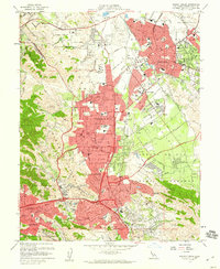
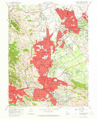
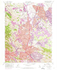
Editions of this 1959 Walnut Creek Map
7 editions found
Other maps of this area

1896 · Carquinez Strait
USGS Topo · 1:62,500

1896 · Mt. Diablo
USGS Topo · 1:62,500

1897 · Concord
USGS Topo · 1:62,500

1898 · Karquines
USGS Topo · 1:62,500

1898 · Mt. Diablo
USGS Topo · 1:62,500

1901 · Karquines
USGS Topo · 1:62,500

1902 · Napa
USGS Topo · 1:125,000

1907 · Antioch
USGS Topo · 1:62,500

1908 · Antioch
USGS Topo · 1:62,500

1915 · Concord
USGS Topo · 1:62,500