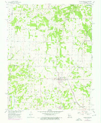
1956 Map of Walnut Grove
USGS Topo · Published 1976About this map
Walnut Grove serves as the central hub of this Missouri landscape, situated at the intersection of local routes in the mid-1950s. The town's grid is surrounded by a network of rural settlements like Eudora and Harold, which supported the surrounding agricultural and industrial economy. To the south, the village of Phenix is distinguished by its proximity to Quarries, marking a site of local resource extraction. Transport during this era was defined by the St Louis San Francisco railroad line, which cuts through the eastern half of the map, passing the mineral waters of Graydon Springs. Family history is deeply rooted in this terrain, evidenced by several small burial grounds including Green Lawn Cem, Lemmon Cem, and Leeper Cem. The area's hydrology is dominated by the Sac River and Turkey Creek, which carved the drainage patterns for numerous branches across the Dade and Greene County border.
Find a feature on this map
25 named features on this map. Tap any name to fly to it.
Don’t see what you’re looking for? This feature index may not catch every label — zoom into the map to look around manually.
Map Details
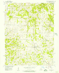
Editions of this 1956 Walnut Grove Map
2 editions found
Other maps of this area

1884 · Springfield
USGS Topo · 1:125,000

1884 · Bolivar
USGS Topo · 1:125,000

1886 · Stockton
USGS Topo · 1:125,000

1886 · Greenfield
USGS Topo · 1:125,000

1886 · Springfield
USGS Topo · 1:125,000

1888 · Greenfield
USGS Topo · 1:125,000

1892 · Bolivar
USGS Topo · 1:125,000

1948 · Willard
USGS Topo · 1:24,000

1954 · Springfield
USGS Topo · 1:250,000

1955 · Dadeville
USGS Topo · 1:24,000