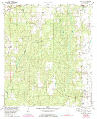
1978 Map of Walnut Hill
USGS Topo · Published 1990About this map
The Perdido River carves the western boundary of this landscape, separating Baldwin County, Alabama, from the rural expanses of Escambia County, Florida. During the late 1970s and early 1980s, the area around Walnut Hill and Pineville remained a network of timbered hollows and small-scale agriculture. The settlement pattern is anchored by local religious and family landmarks, including Antioch Ch, Holly Fork Ch, and the Dutch Cem.
Find a feature on this map
27 named features on this map. Tap any name to fly to it.
Don’t see what you’re looking for? This feature index may not catch every label — zoom into the map to look around manually.
Map Details
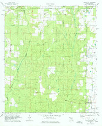
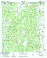
Editions of this 1978 Walnut Hill Map
3 editions found
Other maps of this area

1941 · Century
USGS Topo · 1:62,500

1942 · Perdido
USGS Topo · 1:62,500

1942 · Dyas
USGS Topo · 1:62,500

1943 · Century
USGS Topo · 1:62,500

1944 · Dyas
USGS Topo · 1:62,500

1944 · Perdido
USGS Topo · 1:62,500

1953 · Andalusia
USGS Topo · 1:250,000

1957 · Andalusia
USGS Topo · 1:250,000

1957 · Pensacola
USGS Topo · 1:250,000

1959 · Pensacola
USGS Topo · 1:250,000