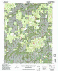
1996 Map of Waltersburg
USGS Topo · Published 1998About this map
Eddyville and the small community of Waltersburg anchor this map of Pope County, where the southern Illinois landscape is defined by the dense forest cover of the Shawnee National Forest. The area is notably characterized by its numerous family-named cemeteries and rural churches, including Sulphur Springs Ch and New Liberty Ch, which speak to the generations of agricultural and woodland life in the region.
Find a feature on this map
41 named features on this map. Tap any name to fly to it.
Don’t see what you’re looking for? This feature index may not catch every label — zoom into the map to look around manually.
Map Details
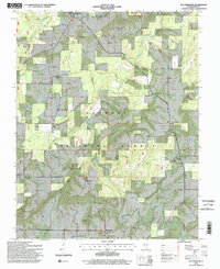
Editions of this 1996 Waltersburg Map
2 editions found
Other maps of this area

1916 · Golconda
USGS Topo · 1:62,500

1916 · Equality
USGS Topo · 1:62,500

1917 · Brownfield
USGS Topo · 1:62,500

1920 · Goloonda
USGS Topo · 1:48,000

1921 · Golconda
USGS Topo · 1:62,500

1925 · Harrisburg
USGS Topo · 1:62,500

1939 · Harrisburg
USGS Topo · 1:62,500

1949 · Paducah
USGS Topo · 1:250,000

1950 · Paducah
USGS Topo · 1:250,000

1954 · Paducah
USGS Topo · 1:250,000